
America’s most scenic drives range from gentle paved parkways to exposed mountain passes and remote gravel highways. The right route depends on the views you want, the season, your available time, and your vehicle. Before leaving, check official road conditions because snow, landslides, construction, wildfire, and flooding can close even famous routes with little warning.
Quick Answer
The best scenic drives in the USA include California Highway 1 through Big Sur, the Blue Ridge Parkway, Going-to-the-Sun Road, Beartooth Highway, the San Juan Skyway, Alaska’s Dalton Highway, and Maui’s Road to Hana. Choose by season and road type, then verify closures, vehicle limits, fuel, charging, and overnight rules before departure.
Key Takeaways
- California Highway 1 and the Blue Ridge Parkway are strong choices for an accessible paved road trip with frequent towns and attractions.
- Going-to-the-Sun Road and Beartooth Highway offer dramatic alpine scenery but have short operating seasons and strict weather-related limits.
- The San Juan Skyway is a 233-mile loop; the Million Dollar Highway is only its Ouray-to-Silverton section.
- The Dalton Highway and Big Bend’s River Road require much more preparation than an ordinary sightseeing drive.
- Always use official park or transportation-department updates instead of relying only on a navigation app.
At a Glance
| Time Required | One full day for a short route or selected section; several days to two weeks for a multi-route road trip |
| Difficulty | Easy on paved parkways; moderate to demanding on high-elevation, gravel, or primitive roads |
| Tools Needed | Offline maps, tire-pressure gauge, phone charger, water, emergency kit, and route-appropriate spare-tire equipment |
| Cost | Many roads are free to drive, but budget for fuel or charging, lodging, food, park entrance fees, parking, camping, and permits |
The Most Scenic Drives in the USA
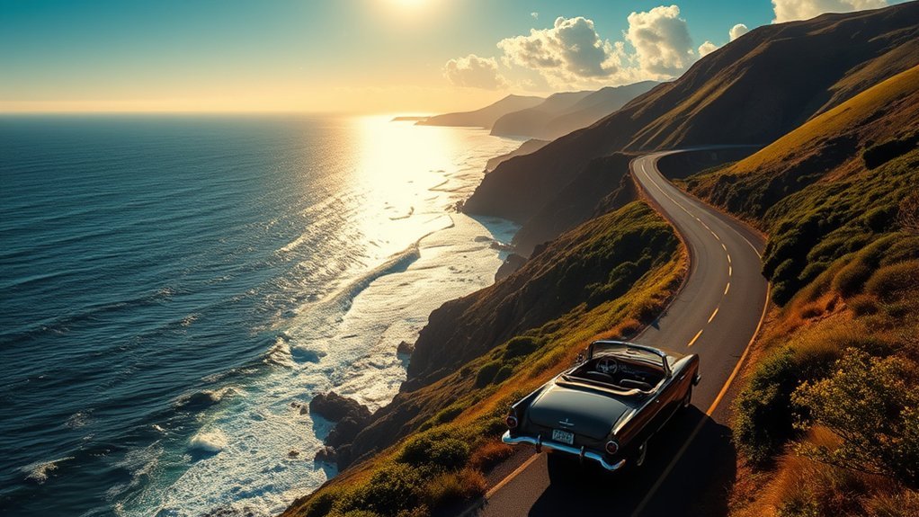
The United States has scenic routes for nearly every kind of road trip. You can follow ocean cliffs, drive through Appalachian forests, cross alpine tundra, pass waterfalls in a tropical rainforest, or travel hundreds of miles through the Arctic.
These routes are among the strongest choices:
- California Highway 1 through Big Sur: Best for ocean cliffs, beaches, coastal towns, and famous landmarks such as Bixby Creek Bridge.
- Blue Ridge Parkway in Virginia and North Carolina: Best for relaxed mountain touring, overlooks, hiking, Appalachian culture, and fall color.
- Going-to-the-Sun Road in Montana: Best for glacier-carved valleys, alpine lakes, mountain wildlife, and Logan Pass.
- Beartooth Highway in Montana and Wyoming: Best for exposed high-elevation scenery, tundra, lakes, switchbacks, and access toward Yellowstone.
- San Juan Skyway in Colorado: Best for historic mountain towns, mining history, hot springs, and dramatic San Juan Mountain scenery.
- Dalton Highway in Alaska: Best for experienced travelers seeking a remote Arctic journey across the Yukon River and Brooks Range.
- Road to Hana in Maui: Best for rainforest scenery, waterfalls, coastal overlooks, and small East Maui communities.
- Moki Dugway and the Valley of the Gods in Utah: Best for desert mesas and gravel switchbacks when conditions are dry.
No single route is best for everyone. A family looking for frequent services may prefer the Blue Ridge Parkway, while a prepared traveler with spare tires and emergency supplies may be drawn to the Dalton Highway.
Top Scenic Drives for Stunning Views
California Highway 1 and Big Sur
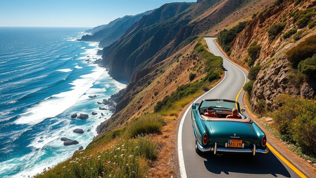
California Highway 1 follows much of the state’s coast, although the name “Pacific Coast Highway” is not used for every section. The Big Sur portion between the Monterey Peninsula and the Cambria area is the section most travelers picture: steep coastal cliffs, redwood groves, beaches, bridges, and repeated views of the Pacific.
Bixby Creek Bridge is one of the best-known stops, but the journey also includes turnouts near Garrapata State Park, Pfeiffer Big Sur State Park, and the southern Big Sur coast. Allow a full day rather than trusting a nonstop navigation estimate.
Slides, storms, and roadwork can close parts of Highway 1. Check Caltrans QuickMap and the California Highway Information system before leaving.
The best coastal drive is not the one you finish fastest. Leave enough time to use designated pullouts, walk to viewpoints, and wait for changing fog and light.
Blue Ridge Parkway
The Blue Ridge Parkway runs 469 miles through Virginia and North Carolina. Its lower speed limits, frequent overlooks, trail access, picnic areas, and nearby mountain communities make it one of the easiest long scenic drives to divide into manageable sections.
Popular stops include Mabry Mill, Peaks of Otter, Linville Falls, Craggy Gardens, and overlooks near the southern end of the parkway. Fall is famous, but color timing changes with elevation and weather. Spring wildflowers and summer greenery can be just as rewarding.
Weather, construction, fallen trees, and storm recovery can close individual sections. Check the NPS daily road-status page before planning a through-drive.
Going-to-the-Sun Road
Going-to-the-Sun Road crosses Glacier National Park for about 50 miles between West Glacier and St. Mary. It climbs past forests, waterfalls, glacial lakes, steep rock walls, and Logan Pass, which sits at 6,646 feet.
The alpine section normally does not fully open until late June at the earliest, and winter closure can begin before the usual October timeframe if snow arrives early. The park’s official transportation page should be checked immediately before travel.
Vehicle limits are important. Between Avalanche Creek and Rising Sun, vehicles and vehicle combinations longer than 21 feet or wider than 8 feet are prohibited. Vehicles over 10 feet tall may have trouble with rock overhangs west of Logan Pass.
Beartooth Highway
Beartooth Highway carries U.S. Route 212 between Red Lodge, Montana, and the Cooke City area near Yellowstone. Its switchbacks climb into alpine tundra, passing lakes, broad plateaus, and viewpoints near Beartooth Pass at 10,947 feet.
The highway is generally open from Memorial Day weekend through mid-October, weather permitting. Snow and high winds can force temporary closures even during summer. Check the Montana Department of Transportation Beartooth Highway page, Montana 511, and Wyoming road information before crossing the full route.
Use lower gears on long descents, stay within posted speeds, and pull over only at safe, designated locations. Fuel and services are limited on the high section.
San Juan Skyway and the Million Dollar Highway
The San Juan Skyway is a 233-mile loop through southwestern Colorado. It connects Durango, Silverton, Ouray, Telluride, and Cortez while passing high mountains, forests, historic mining areas, and archaeological landscapes.
The Million Dollar Highway is not another name for the entire loop. It is the famous section of U.S. 550 between Ouray and Silverton. That stretch has steep grades, exposed curves, changing mountain weather, and sections with limited roadside protection.
The full San Juan Skyway takes about five hours without meaningful stops. One or two days is more realistic if you plan to visit towns, overlooks, museums, hot springs, or trails.
Dalton Highway
Alaska’s Dalton Highway stretches about 414 miles from near Livengood to Deadhorse. It crosses the Yukon River, the Arctic Circle, the Brooks Range at Atigun Pass, and miles of open tundra.
This is not a casual sightseeing road. The Alaska Department of Transportation describes it as mostly gravel with steep grades and recommends extra supplies and spare tires. Services, fuel, repairs, food, and lodging are separated by long distances.
June through August is usually the most practical travel period. Drivers should carry more than one way to handle a flat tire, know their fuel range, protect the radiator and windshield from loose gravel, and download maps before leaving reliable service.
Road to Hana
Maui’s Road to Hana follows narrow, winding roads through rainforest, waterfalls, one-lane bridges, coastal cliffs, and small communities. The route is traveled year-round, but rain, flooding, rockfall work, traffic, and temporary lane closures can affect the trip in any month.
Start early, allow a full day, use established parking areas, and do not block driveways, bridges, or local traffic. Check the Hawaii Department of Transportation’s Maui roadwork page before departure.
Many waterfalls and roadside areas are on private land or have unsafe informal pullouts. Follow signs and visit only locations with lawful public access.
Must-See Attractions on Scenic Byways
A good scenic drive combines the road itself with a few carefully chosen stops. Trying to visit every overlook can turn a relaxed trip into a rushed schedule.
- Beartooth Pass, Montana and Wyoming: The road reaches 10,947 feet in Wyoming and opens to views across the Beartooth Plateau. Conditions can change within minutes.
- Bixby Creek Bridge, California: Use marked parking and viewpoints rather than stopping in the travel lane or walking along an unsafe shoulder.
- Mabry Mill, Virginia: This Blue Ridge Parkway landmark combines historic structures, trails, and Appalachian cultural interpretation.
- Logan Pass, Montana: The highest point on Going-to-the-Sun Road provides mountain views, trail access, and frequent wildlife sightings.
- Arctic Circle Wayside, Alaska: A recognized stop on the Dalton Highway, but reaching it still requires remote-road preparation.
- Ouray and Silverton, Colorado: These historic towns provide natural stopping points on the Million Dollar Highway section of the San Juan Skyway.
Pro Tip: Select three or four priority stops for each day and treat everything else as optional. This leaves room for traffic, weather, photography, short walks, and unexpected closures.
Seasonal Highlights: Best Times for Scenic Drives
Season matters, but there is no fixed date when every route is at its best. Elevation, snowpack, wildfire, tropical rain, hurricanes, and construction can shift conditions from year to year.
- California Highway 1: Spring and early fall often provide comfortable touring, but coastal fog, winter storms, slides, and roadwork can occur.
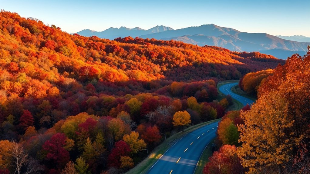
- Blue Ridge Parkway: Spring brings flowers, summer brings green mountain views, and fall brings changing color that progresses at different times by elevation.
- Going-to-the-Sun Road: Plan for summer or early fall and confirm that the alpine section is fully open.
- Beartooth Highway: The normal driving season is approximately Memorial Day weekend through mid-October, subject to snow and temporary closure.
- San Juan Skyway: Late spring through fall is generally the most practical period, although snow and thunderstorms can affect high passes.
- Dalton Highway: June through August is the standard travel period recommended by Alaska transportation officials.
- Road to Hana: The route is open year-round when conditions allow, but travelers should avoid driving during heavy rain, flooding, or hazardous roadwork.
July 2026 Travel Update:
- Glacier National Park does not require vehicle reservations in 2026. From July 1 through September 7, Logan Pass has a three-hour parking limit, and longer access is available through the park’s revised ticketed shuttle system. Review the official 2026 access page.
- California Highway 1 reopened through Big Sur in January 2026 after the Regent’s Slide closure, but new slides or construction can still interrupt travel.
- Some Blue Ridge Parkway sections remain subject to construction, maintenance, and storm-recovery closures. Check the daily NPS status instead of assuming a continuous 469-mile drive is possible.
Essential Tips for Planning Your Scenic Road Trip
Good planning protects both your schedule and your vehicle. Scenic routes often have slower speeds, limited passing areas, crowded overlooks, and fewer services than an interstate.
- Choose a route that matches your vehicle. Separate paved touring roads from gravel highways and primitive four-wheel-drive roads.
- Check official road conditions. Use the park service, state transportation department, or 511 system for every state on the route.
- Allow extra time. Add time for viewpoints, meals, roadwork, wildlife, parking, and weather. A five-hour driving estimate can easily become a full day.
- Plan fuel or charging stops. Do not assume every small town has dependable fuel, fast charging, or late-night service. EV drivers can use the U.S. Department of Energy’s Alternative Fueling Station Locator to map charging options.
- Download offline maps. Save route maps and key addresses before entering mountain, desert, rainforest, or Arctic areas with weak mobile service.
- Reserve lodging and camping. Popular park campgrounds and gateway towns can fill months ahead.
- Review fees and permits. The road may be free while park entry, parking, backcountry camping, or a shuttle requires payment or a reservation.
- Share your itinerary. Give a trusted person the route, overnight location, expected check-in time, and instructions for what to do if you do not arrive.
Do not treat a navigation app’s route line as proof that a road is open or suitable. Consumer map apps can miss seasonal gates, storm damage, temporary restrictions, or rental-car prohibitions.
Stay Safe: Tips for Navigating Scenic Drives
Warning: Never enter a closed road, drive around a gate, or continue onto a primitive road that exceeds your vehicle or experience. Conditions can deteriorate quickly, and rescue or towing may be hours away or unavailable.
Check weather and road conditions before departure and again at the last town with reliable service. High passes such as Beartooth Highway can receive snow in summer, while desert roads may become impassable after a short period of heavy rain.
- Watch the road, not the view. Stop only at designated pullouts or parking areas.
- Slow down before curves. Expect cyclists, pedestrians, wildlife, fallen rock, stopped traffic, and vehicles crossing the centerline.
- Use lower gears on descents. This reduces constant brake use and helps control speed on long mountain grades.
- Keep a safe following distance. Gravel, fog, rain, and wildlife can make sudden stops necessary.
- Carry water and food. Pack enough for a delay, not merely the planned driving time.
- Turn around early. A washed-out crossing, deep snow, worsening fog, or unexpected mud is a reason to retreat.
On a remote scenic road, preparation is not separate from the adventure. It is what makes the adventure survivable when the weather, road, or vehicle does not cooperate.
Moki Dugway Safety
Moki Dugway is a steep gravel section of Utah Highway 261 with tight switchbacks and exposed views. Passenger vehicles may travel it when the surface is dry, but drivers should check weather and local conditions first. Avoid the road during rain, snow, ice, or poor visibility, and confirm that a rental agreement permits unpaved-road travel.
Review the Bureau of Land Management’s Valley of the Gods and Moki Dugway information before the trip. Large RVs and trailers may be unsuitable even when the road is technically open.
Big Bend River Road Safety
Big Bend National Park’s River Road is not an ordinary scenic drive. Current NPS guidance says it requires a high-clearance, true four-wheel-drive vehicle and is not passable to passenger cars, minivans, motorhomes, or small crossover SUVs.
The 51-mile primitive road crosses desert washes and can become impassable after rain. Carry water, a dependable jack, a good spare tire, recovery supplies, and a current map. Read the official River Road warning before attempting it.
Scenic Drives: Experience Local Culture, Dining, and Attractions
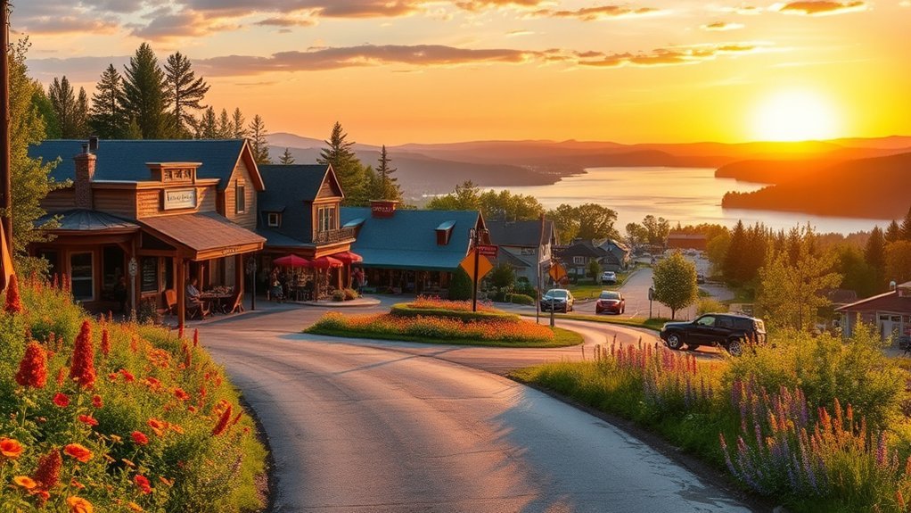
A scenic drive is more rewarding when the stops reflect the communities along the road. Build time into the itinerary for locally operated restaurants, museums, markets, historic sites, and guided cultural programs.
- Local festivals: Check official community calendars for music, food, craft, harvest, and heritage events.
- Cultural landmarks: Explore Appalachian history near the Blue Ridge Parkway, mining history on the San Juan Skyway, and Indigenous cultural programs near routes that cross or border tribal homelands.
- Dining experiences: Try coastal seafood in California, mountain-town restaurants in Colorado, and permitted local food stops along the Road to Hana.
- Artisan markets: Purchase crafts and food directly from local makers where lawful parking and public access are provided.
Respect private property, posted no-parking areas, tribal regulations, and community access needs. On narrow routes such as the Road to Hana, an illegally parked sightseeing vehicle can block residents, emergency services, and delivery traffic.
Preparing Your Vehicle for Scenic Adventures
A basic vehicle inspection can prevent a minor issue from becoming a dangerous breakdown. Complete maintenance before leaving home rather than waiting until the gateway town.
- Tires: Check cold tire pressure against the driver-door placard or owner’s manual. Inspect tread, sidewalls, and the spare tire. The National Highway Traffic Safety Administration recommends regular pressure and tread checks.
- Brakes: Have worn pads, vibration, pulling, warning lights, or unusual noises inspected before a mountain trip.
- Fluids: Check engine oil, coolant, brake fluid, windshield-washer fluid, and any other fluids specified by the manufacturer.
- Visibility: Test headlights, brake lights, turn signals, wipers, mirrors, and the windshield defroster.
- Battery and charging system: Address slow starting or a weak battery before entering a remote area.
- Emergency equipment: Carry a first-aid kit, flashlight, reflective triangle, jumper cables or an approved jump pack, phone charger, water, food, warm clothing, and a paper map. See the Ready.gov car-emergency checklist.
- Route-specific equipment: Remote gravel roads may justify two usable spare tires, a tire-repair kit, an air compressor, and recovery equipment.
A full-size spare is helpful on remote routes, but many modern vehicles do not include one. Know exactly what your vehicle carries and whether the supplied equipment can handle the road you have chosen.
Choosing the Right Vehicle
Most paved scenic drives can be enjoyed in a well-maintained sedan, hatchback, SUV, minivan, convertible, or EV. The best vehicle is the one that meets the route’s size, clearance, traction, range, and weather requirements.
Convertibles can be enjoyable in mild weather but provide no advantage in rain, smoke, cold, or intense sun. EVs can work well on developed routes when charging is planned in both directions. RVs and trailers require special attention to tunnel clearances, parking, switchbacks, grades, and formal size restrictions.
Frequently Asked Questions
Are there tolls on scenic drives in the USA?
Many famous scenic roads, including the Blue Ridge Parkway and San Juan Skyway, do not charge a road toll. You may still pay national park entrance fees, parking charges, camping fees, shuttle fares, bridge tolls, or attraction fees. Check every route and park individually before departure.
What type of vehicle is best for a scenic drive?
Use a well-maintained vehicle that matches the road surface, weather, clearance, size limits, and service gaps. A standard passenger car works for most paved routes. Gravel highways may require stronger tires and extra spares, while primitive roads such as Big Bend’s River Road require true four-wheel drive and high clearance.
Can I camp along scenic-drive routes?
Yes, many routes pass public campgrounds and permitted backcountry sites. Camping is not automatically allowed at overlooks, trailheads, beaches, parking areas, or roadside pullouts. Use designated sites and check reservations, stay limits, fire rules, food-storage rules, and backcountry-permit requirements through the managing agency.
How do weather conditions affect scenic drives?
Weather can close high passes, trigger landslides, flood desert washes, reduce visibility, or make gravel roads impassable. Check the forecast and official road status before leaving, then turn around if conditions worsen. A road shown on a navigation app may still be gated, unsafe, or restricted.
Are guided tours available for scenic drives?
Yes. Some parks, gateway towns, and private operators offer bus, van, photography, cultural, wildlife, and geology tours. Glacier National Park also lists authorized guided options for Going-to-the-Sun Road. Verify that the operator is permitted and confirm what entrance, parking, or shuttle fees are included.
How many days should I allow for a scenic-road trip?
Allow at least one full day for a famous route section and several days for a long parkway or loop. The 233-mile San Juan Skyway needs about five hours of nonstop driving, so one or two days is more enjoyable. The full Blue Ridge Parkway usually deserves several days.
Are scenic drives suitable for RVs and trailers?
Some are, but not all. Review tunnel heights, bridge limits, parking size, grades, switchbacks, and formal restrictions. Going-to-the-Sun Road prohibits vehicles or combinations longer than 21 feet or wider than 8 feet on its central section. Moki Dugway and primitive Big Bend roads may also be unsuitable.
Conclusion
The best scenic drives in the USA are not interchangeable. California Highway 1 offers a classic coastal journey, the Blue Ridge Parkway supports a relaxed multi-day tour, Going-to-the-Sun Road and Beartooth Highway deliver short-season alpine scenery, and the Dalton Highway rewards travelers who prepare for genuine remoteness.
Choose a route that suits your vehicle and experience, verify current access through official sources, and leave enough time to stop safely. With realistic planning, the road becomes more than transportation—it becomes the central part of the trip.
Sources
- National Park Service — Blue Ridge Parkway — official mileage, attractions, maps, and road-status resources
- National Park Service — Glacier Transportation and Road Conditions — Going-to-the-Sun Road mileage, seasonal access, vehicle limits, and driving guidance
- Montana Department of Transportation — Beartooth Highway — operating season and temporary closure guidance
- Federal Highway Administration — San Juan Skyway — official route length, drive time, fees, and byway description
- Alaska Department of Transportation — Dalton Highway — road surface, season, services, supplies, and remote-driving cautions
- National Highway Traffic Safety Administration — Road-Trip Safety — tire, fluid, battery, lighting, and vehicle-preparation guidance







Leave a Reply