
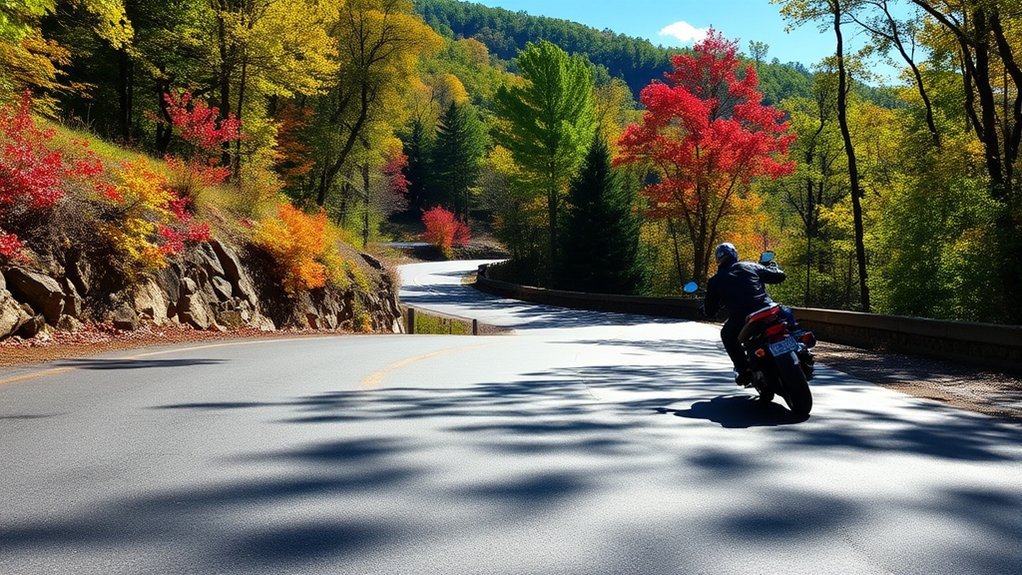
The Tail of the Dragon is a famous section of US 129 near the Tennessee–North Carolina line, commonly described as having 318 curves in about 11 miles. Those curves can be rewarding, but they leave little room for poor lane position, late braking, distraction, or pressure from faster traffic. Treat the Dragon as a public road—not a racetrack—and plan every pass around control, visibility, and changing conditions.
Quick Answer
Ride or drive the Tail of the Dragon at a pace that lets you remain fully inside your lane, stop within the distance you can see, and adjust for traffic or debris. Check your vehicle, weather, and road reports first. Use marked pull-offs for breaks or passing, and never stop inside a blind curve.
Key Takeaways
- Slow before each curve, look through the turn, use smooth controls, and stay completely inside your lane.
- Check tires, brakes, fluids, lights, weather, closures, and fuel before entering the remote section.
- Use only marked, safe pull-offs when stopping or allowing faster traffic to pass.
- Keep at least a two-second following interval in good conditions and increase it when the road is wet, dirty, dark, or crowded.
- Wear a DOT-compliant helmet and full protective riding gear on a motorcycle.
At a Glance
| Time Required | Allow about 30–60 minutes for one controlled pass, plus extra time for traffic, pull-offs, meals, and nearby stops. |
| Difficulty | Intermediate to advanced. New riders should first be comfortable with braking, cornering, hill starts, and low-speed control. |
| Tools Needed | Roadworthy motorcycle or car, tire-pressure gauge, suitable protective gear, water, offline directions, and current weather and road information. |
| Cost | There is no toll for the route itself. Budget for fuel, meals, lodging, repairs, and any fees at separate attractions. |
Why Pull-Offs Matter on the Tail of the Dragon
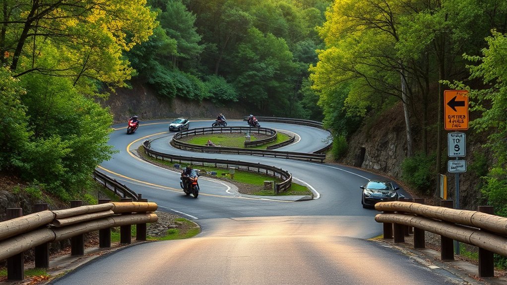
Marked pull-offs give you a place to rest, check your motorcycle or car, regroup with companions, and let faster traffic move ahead. Using them can reduce tailgating, frustration, and rushed decisions.
Watch for a pull-off early, signal before slowing, and enter it smoothly. Make sure your entire vehicle is clear of the travel lane before stopping. When rejoining the road, wait for a large gap and check carefully in both directions.
Warning: Never stop in a travel lane, beside the centerline, on the shoulder of a blind curve, or where any part of your vehicle remains in the roadway. Continue at a controlled pace until you reach a safe, marked area.
Do not wave another vehicle around while you remain in the lane. A driver behind you cannot see what you see, and an approaching vehicle may be hidden by the next curve. Move completely into a suitable pull-off instead.
Check Your Motorcycle or Car Before the Route
A minor mechanical problem can become much harder to manage on a narrow, curving mountain road. Complete the following checks before you enter the Dragon.
Motorcycle Pre-Ride Checks
- Tires: Set cold tire pressures to the motorcycle or tire manufacturer’s specification. Inspect tread, sidewalls, embedded objects, and unusual wear.
- Brakes: Confirm that both brakes feel normal and that the pads, fluid level, and brake-light switches are serviceable.
- Drive system: Check chain slack and lubrication or inspect the belt or shaft system as required by the owner’s manual.
- Controls: Test the throttle, clutch, steering, horn, turn signals, mirrors, and engine-stop switch.
- Fluids and leaks: Check oil, coolant where applicable, and the ground beneath the motorcycle.
- Fuel and cargo: Begin with adequate range and secure every bag, strap, camera, and loose item.
Car Pre-Trip Checks
- Check tire pressures, tread, and sidewalls, including tires that may have been stored or driven infrequently.
- Confirm normal brake-pedal feel and investigate vibration, pulling, warning lights, or unusual noises before the trip.
- Check oil, coolant, windshield washer fluid, exterior lights, mirrors, and wipers.
- Secure bottles, luggage, phones, and other objects that could move during repeated turns.
- Fill the tank or charge the vehicle before reaching the remote portion of the route.
Check Road, Weather, and Park Conditions
Before leaving, review the latest Tennessee Department of Transportation reports, DriveNC traffic information, Great Smoky Mountains National Park conditions, and the National Weather Service forecast. Recheck them immediately before entering the route rather than relying on an old screenshot or saved forecast.
Current road note: In its July 17, 2026 construction report, TDOT reiterated that trucks with trailers longer than 30 feet and single-unit vehicles longer than 30 feet are prohibited on the US 129 Dragon section. Restrictions and construction conditions can change, so verify them before every trip.
Essential Safety Techniques for the Tail of the Dragon
The best pace is one that leaves enough time and space to respond to a tightening curve, stopped traffic, gravel, wildlife, or a vehicle crossing the centerline. Your safe speed may be well below the posted limit.
Slow Before the Curve
Complete most of your braking before entering the turn. Select a manageable entry speed, look through the curve toward the open path, and use steady, smooth steering or countersteering. Avoid abrupt braking, throttle changes, or steering corrections while leaned over.
If a curve tightens unexpectedly, continue looking where you need to go, keep your inputs smooth, and remain in your lane. Do not straighten the vehicle across the centerline to reduce the turn.
Keep Your Whole Vehicle Inside Your Lane
Motorcycle tires, handlebars, your head and upper body, car mirrors, and wide bodywork must all remain on your side of the centerline. Position yourself for visibility without placing any part of your vehicle where oncoming traffic may travel.
A curve is not safely completed unless your entire motorcycle or car stays inside its lane from entry to exit.
Use Correct Following and Scanning Distances
The Motorcycle Safety Foundation operator manual separates following distance from forward scanning:
- At least two seconds: Maintain a minimum two-second following interval in normal conditions.
- Four-second urgent path: Scan the area you will reach in roughly four seconds for hazards that may require immediate braking or swerving.
- About 12 seconds ahead: Search farther along the road for developing hazards so you can prepare before they become urgent.
Increase your following interval when pavement is wet, dirty, shaded, damaged, or crowded. Leave additional space behind large vehicles that block your view.
Manage Wildlife, Debris, and Other Road Users
Expect leaves, gravel, branches, water, disabled vehicles, bicycles, wildlife, and drivers who drift toward or across the centerline. Scan the road surface without staring directly in front of your tire or bumper.
Avoid riding beside another motorcycle through the curves. Groups should use single file, maintain individual stopping space, and regroup only in a safe pull-off.
Safe Pull-Offs and Nearby Stops
The core route contains marked roadside pull-offs, but several popular locations commonly described as “Dragon stops” are actually nearby destinations. Use this distinction when planning your day.
| Stop | What It Offers | Planning Note |
|---|---|---|
| Marked US 129 pull-offs | Short breaks, traffic separation, and occasional views. | Use only a pull-off large enough to place the entire vehicle outside the lane. |
| Deals Gap service area | Fuel, food, restrooms, maps, and a place to regroup near the North Carolina end. | This is a developed service stop, not a roadside turnout in the middle of a blind curve. |
| Calderwood and Chilhowee Lake area | Reservoir scenery on the Tennessee side of the route. | Follow signs and stop only in designated parking or paved pull-offs. |
| Cheoah Dam area | A nearby US 129 side stop with river and dam scenery. | Do not treat a narrow shoulder as parking. Use a clearly legal, fully off-road location. |
| Foothills Parkway West | A nearby NPS scenic drive with designated parking areas and overlooks. | Review the official Foothills Parkway guide and current park conditions. |
| Fontana Dam Visitor Center | Exhibits, mountain views, and a longer stop off NC 28. | Check TVA visitor-center information because hours are seasonal and weather-dependent. |
Note: Parson Branch Road is not a Tail of the Dragon turnout. The National Park Service lists it as a seasonal, one-way, eight-mile road where high-clearance vehicles are recommended. Motorhomes, buses, longer vans, and vehicles towing trailers are restricted. Check the official seasonal-road schedule and current closures before considering it.
Three High-Risk Situations to Avoid
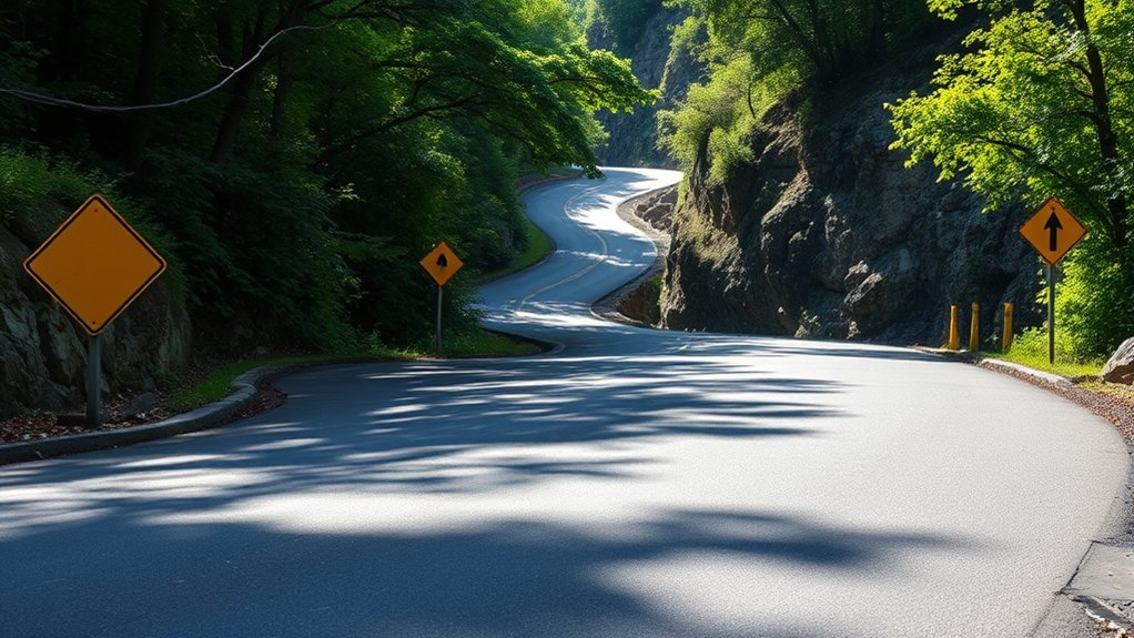
1. Blind or Tightening Curves
A curve may continue longer or tighten more than it first appears. Enter slowly enough to hold your lane and stop within the distance you can see. Never assume an oncoming driver will remain fully on the other side.
2. Contaminated or Wet Pavement
Leaves, loose gravel, mud, standing water, paint, oil, and damp shaded pavement can reduce grip. Keep the motorcycle more upright where practical, reduce speed before reaching the hazard, and avoid abrupt braking or steering.
3. Traffic Pressure and Roadside Distractions
Do not chase a faster rider, try to stay ahead of a car, or look toward roadside photographers while entering a curve. Keep your eyes on your path. Use the next safe pull-off when traffic pressure begins affecting your decisions.
First-Time Tail of the Dragon Riding and Driving Tips
- Use the first pass as a survey. Learn the pavement, sightlines, traffic level, and pull-off locations without trying to maintain another person’s pace.
- Ride after full daylight. Good visibility is more useful than simply being first on the road.
- Choose your own speed. A rider or driver behind you does not control your entry speed or lane position.
- Do not make a U-turn in the roadway. Continue to a safe endpoint or suitable off-road area.
- Take a real break. Repeated curves demand concentration. Stop if your hands tense, your vision narrows, or you begin missing signs and hazards.
- Do not use a phone while moving. Set navigation, cameras, music, and communication equipment before entering the route.
Pro Tip: If someone catches you quickly, keep a predictable line and continue to the next safe pull-off. Do not suddenly accelerate, brake hard, or move onto a loose shoulder.
Prepare for Changing Weather
Weather can change quickly around the mountains, and conditions at one elevation may not match those a few miles away. Rain can leave shaded bends wet after exposed pavement appears dry.
Check the Forecast and Radar Before Riding
Review the forecast before departure and again while safely parked near the route. Look for rain, thunderstorms, strong wind, fog, falling temperatures, and flood or severe-weather alerts.
Delay the ride if storms are approaching. Do not try to study radar, type an address, or adjust a phone mount while moving.
Dress in Protective Layers
Start with a moisture-managing base layer, add insulation when needed, and carry a windproof or waterproof outer layer. Motorcycle gloves, over-the-ankle boots, abrasion-resistant pants, and a protective jacket should remain part of the plan even during warm weather.
Cold hands, soaked clothing, glare, and a fogged visor can all reduce control and attention. Stop in a safe location to adjust layers or ventilation.
Scenic Stops That Improve the Trip
The best scenic break is one that does not require a rushed stop or unsafe roadside parking. Build longer stops into the trip so you do not feel pressure to photograph every view from the core curves.
- Deals Gap: A practical place to fuel, eat, check the vehicle, and discuss the route before or after a pass.
- Calderwood and Chilhowee Lake: Look for legal, marked stopping areas as the road opens beyond the tightest curves.
- Cheoah Dam: Treat it as a nearby destination rather than an excuse to stop on a narrow shoulder.
- Fontana Dam: A longer NC 28 side trip with a visitor center during its operating season.
- Foothills Parkway West: A better choice when your priority is designated overlooks and a slower scenic drive.
Take photographs only after the vehicle is parked completely outside the travel lane. Before leaving, check that no straps, gloves, bottles, or equipment were placed on the roof, seat, or tail.
Plan Your Tail of the Dragon Adventure
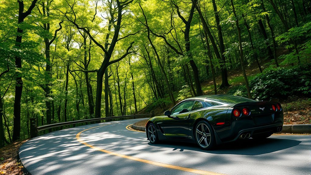
Choose the Best Time for Your Ride
Weekdays often have less recreational traffic than weekends, but construction, special events, weather, and seasonal tourism can change that pattern. Aim for dry weather, full daylight, and enough time to complete the route without rushing.
Late spring and early fall can offer comfortable temperatures and attractive scenery, but no month guarantees dry pavement or light traffic. Check same-day conditions instead of relying only on the calendar.
Combine the Dragon With Nearby Routes
Consider using the Dragon as one part of a broader trip rather than repeating it until fatigue builds. Nearby options include Foothills Parkway West, NC 28 toward Fontana Dam, and the Cherohala Skyway.
Parson Branch Road should be considered only after checking NPS access information and deciding whether its one-way gravel surface and water crossings suit your vehicle and experience. It is not a dependable shortcut for an ordinary street motorcycle or low-clearance car.
Wear Complete Motorcycle Safety Gear
Use a properly fitted helmet whose manufacturer certifies compliance with Federal Motor Vehicle Safety Standard No. 218. NHTSA advises riders to look for the DOT symbol on the back of the helmet and avoid novelty helmets that do not meet the standard. See the official NHTSA helmet guide.
Tennessee and North Carolina require compliant helmets for motorcycle riders. Review the current Tennessee safety requirements and North Carolina driving laws before traveling.
- DOT-compliant, properly fitted motorcycle helmet
- Abrasion-resistant jacket and riding pants or armored jeans
- Full-finger motorcycle gloves
- Over-the-ankle riding boots
- Eye protection and a clean, fog-resistant visor
- Rain and temperature layers suitable for the forecast
Make an Emergency Plan
Download offline directions, carry identification and emergency-contact information, and tell someone where you are going. Mobile reception may be limited by terrain, so do not make your entire plan depend on a live data connection.
If a crash or breakdown occurs, move yourself away from traffic when it is safe to do so. Do not stand in the lane or immediately beyond a blind bend. Call emergency services when possible and warn approaching traffic only from a safe position.
Frequently Asked Questions
What are the most important Tail of the Dragon safety tips?
Slow before each curve, look through the turn, keep your entire vehicle inside your lane, and use smooth steering, throttle, and braking. Maintain adequate following distance, expect debris or oncoming lane encroachment, and use a marked pull-off when you need a break or want faster traffic to pass.
What is the 12-second rule for motorcycles?
It is a forward-scanning guideline, not a 12-second following distance. Search the area you will reach in about 12 seconds so you can identify developing hazards early. The Motorcycle Safety Foundation separately recommends at least a two-second following interval in normal conditions and attention to the four-second urgent path immediately ahead.
How many motorcyclists have died on the Tail of the Dragon?
There is no single official, continuously updated cumulative total that should be quoted without a defined time period and route boundary. Informal totals may count different sections, years, or vehicle types. Treat any unsourced number cautiously and focus on current road conditions, lane discipline, protective gear, and riding within your limits.
What is the best time to ride or drive the Tail of the Dragon?
Choose a dry period after full daylight when you are rested and have enough time to avoid rushing. Weekdays may be quieter than weekends, but traffic and weather vary. Check TDOT, DriveNC, NPS conditions, and the National Weather Service immediately before the trip.
What is the speed limit on the Tail of the Dragon?
Follow every posted speed-limit and warning sign along the route. Much of the well-known Dragon section is associated with a 30 mph posted limit, but signs and current restrictions control. A posted limit is a maximum under suitable conditions, not a promise that every curve can be taken safely at that speed.
Is the Tail of the Dragon suitable for a beginner?
The route is better suited to riders and drivers who already have reliable braking, steering, cornering, and lane-position skills. A newer rider should complete formal training and practice on less demanding roads first. No one should use the Dragon to learn basic motorcycle control.
Are large trucks allowed on the Tail of the Dragon?
TDOT’s July 17, 2026 report states that trucks with trailers longer than 30 feet and single-unit vehicles longer than 30 feet are not permitted on the Dragon in Tennessee or North Carolina. Drivers must verify the latest restrictions before departure because construction and emergency conditions can change.
Can I rely on mobile-phone reception along the route?
Do not depend on continuous reception in mountainous terrain. Download directions and emergency information before the ride, begin with enough fuel, and tell someone your route and expected return time. Stop in a safe area before using a phone or navigation device.
Conclusion
The Tail of the Dragon rewards patience more than speed. Prepare the motorcycle or car, check current conditions, enter every curve at a manageable pace, and protect your lane as if an oncoming vehicle may appear at any moment. Use pull-offs before pressure or fatigue affects your judgment, and save photographs, route changes, and phone use for a complete stop. A controlled pass is a successful pass.
Sources
- Visit North Carolina: Tail of the Dragon — route length, curve count, and general location.
- Tennessee Department of Transportation: July 16–22, 2026 Construction Report — current US 129 commercial-vehicle restriction.
- National Highway Traffic Safety Administration: Choose the Right Motorcycle Helmet — DOT marking and FMVSS No. 218 guidance.
- Motorcycle Safety Foundation: Motorcycle Operator Manual — following distance, forward scanning, hazard evaluation, and riding strategy.
- Great Smoky Mountains National Park: Current Conditions and Seasonal Road Schedule — current park access, weather cautions, and Parson Branch Road information.
- Tennessee Department of Safety and North Carolina Department of Transportation — current motorcycle helmet requirements.







Leave a Reply