
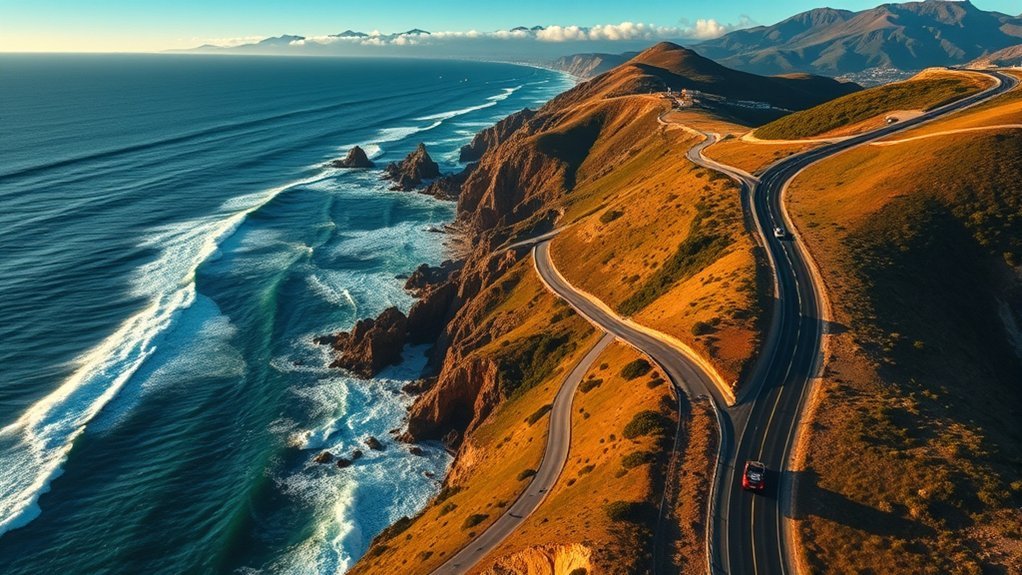
A Pacific Coast Highway road trip combines beaches, coastal towns, redwood forests, historic landmarks, and the dramatic cliffs of Big Sur. The route rewards slow travel, but road conditions, parking limits, reservations, fog, and long distances can quickly disrupt an overpacked itinerary. The best plan leaves time for stops and checks official conditions before every driving day.
Quick Answer
Allow at least three to five days for a Los Angeles-to-San Francisco Pacific Coast Highway road trip and seven to ten days for a longer California coast journey. Reserve popular lodging and attractions early, limit driving to a few hours per day, download offline maps, and check Caltrans for closures or one-way traffic controls before leaving.
Key Takeaways
- California State Route 1 is approximately 656 miles long, but most travelers choose one or two sections rather than driving the entire route in a single trip.
- Highway 1 is open through Big Sur as of July 19, 2026, although construction and one-way controls can cause delays.
- The McWay Falls Overlook Trail is currently listed as closed, so verify park access before building your day around that stop.
- Many travelers prefer driving north to south because the ocean is on the right and several coastal pullouts are easier to enter.
- Fuel, cell service, parking, and food become less predictable in remote areas, especially through Big Sur and northern Mendocino County.
At a Glance
| Time Required | 3–5 days for Los Angeles to San Francisco; 7–10 days for a longer California Highway 1 trip |
| Difficulty | Moderate; expect curves, slow traffic, limited shoulders, changing weather, and occasional construction delays |
| Tools Needed | Offline maps, vehicle emergency kit, water, charging cables, sun protection, layered clothing, and confirmed reservations |
| Cost | Varies widely; plan for fuel, lodging, meals, park or attraction fees, parking, and a possible Golden Gate Bridge toll |
Plan Your Pacific Coast Highway Road Trip
The name Pacific Coast Highway is used informally for several coastal roads, but this guide focuses on California State Route 1. Caltrans describes the full state route as approximately 656 miles long. It runs from Dana Point in Southern California to Leggett in Mendocino County, although it joins other highways in several urban areas.
Current road notice, updated July 19, 2026: Highway 1 is open through Big Sur, but Caltrans reports one-way traffic controls and possible delays near Big Sur and Rocky Creek Bridge, along with work in northern Mendocino County. Conditions can change after construction, rockslides, fires, or storms. Check the official Caltrans Highway 1 conditions immediately before departure and again each morning.
Choose the Right Trip Length
| Time Available | Suggested Route | Best For |
|---|---|---|
| 3 days | Santa Barbara to Monterey, with one overnight near Cambria and one near Big Sur or Monterey | Travelers focused on the Central Coast and Big Sur |
| 5 days | Los Angeles or Santa Monica to San Francisco | A balanced first trip with time for Santa Barbara, Cambria, Big Sur, and Monterey |
| 7 days | Dana Point or Los Angeles to San Francisco, with shorter driving days | Beaches, dining, hikes, museums, and unhurried scenic stops |
| 10 days or more | Southern California to Mendocino County or Leggett | Travelers who want both the Central Coast and Northern California coast |
A map may show a manageable number of driving hours, but Highway 1 travel is slower than freeway travel. Curves, construction, fog, scenic stops, town traffic, and limited passing opportunities can add substantial time. Plan roughly two to four hours of actual driving per day when sightseeing is the priority.
Should You Drive Northbound or Southbound?
Either direction works. Many travelers prefer driving north to south because the ocean is on the right and several coastal turnouts are easier to enter without crossing traffic. A southbound trip can also provide clearer passenger-side views along Big Sur.
A northbound trip may fit flight schedules better and keeps the vehicle on the inland side of some cliff sections. Choose the direction that works with your transportation and lodging plans rather than forcing a complicated one-way rental.
Pro Tip: Do not plan a same-day arrival at an airport after a long Highway 1 segment. Leave a buffer night near your departure city in case fog, traffic, road work, or an incident delays the drive.
Essential Pre-Trip Checklist
Before leaving, check your tires, fluid levels, windshield wipers, lights, brakes, and spare-tire equipment. Electric-vehicle drivers should identify more than one charging option around each overnight stop. Drivers of gasoline vehicles should avoid waiting for a nearly empty tank before entering remote areas.
- Download offline maps: Cell service can disappear in canyons and remote coastal areas.
- Save reservation details: Keep screenshots or printed confirmations for hotels, campgrounds, tours, and park entries.
- Pack water and snacks: Restaurants may close earlier than expected or have long waits.
- Carry layers: Coastal temperatures can change quickly, even during summer.
- Bring an emergency kit: Include a flashlight, first-aid supplies, tire inflator or gauge, charging bank, and reflective warning device.
- Check weather and fire information: Fog, winter storms, high surf, wildfire smoke, and debris flows can affect the route.
- Tell someone your plan: Share your overnight locations when traveling through weak-signal areas.
Note: Navigation apps may suggest narrow inland roads as detours around a Highway 1 closure. Confirm any detour with Caltrans before following it, especially in an RV, trailer, or low-clearance vehicle.
Must-See Stops Along the Pacific Coast Highway
The best stops depend on the section you drive. The following attractions create a practical first-trip route from Southern California through the Central Coast.
| Stop | Why Visit | Planning Note |
|---|---|---|
| Dana Point and Laguna Beach | Southern beaches, coastal walks, and the beginning of the full State Route 1 journey | Parking fills early on warm weekends |
| Santa Monica and Malibu | Classic Southern California coastline, piers, beaches, and oceanfront dining | Allow extra time for Los Angeles traffic |
| Santa Barbara | Spanish-influenced architecture, waterfront paths, restaurants, and lodging | A useful overnight stop between Los Angeles and the Central Coast |
| Pismo Beach | Beach walks, clam chowder, and seasonal monarch butterfly viewing | Butterfly numbers and viewing periods vary; check local updates |
| Hearst Castle | Historic estate, art, architecture, and guided tours | Choose and reserve a tour through the official Hearst Castle website |
| Bixby Creek Bridge | A 1932 concrete-arch bridge crossing roughly 260 feet above Bixby Creek and Canyon | Use legal parking only and never stop in a traffic lane |
| Pfeiffer Beach | Purple-tinted sand in some areas and the well-known Keyhole Rock formation | Access is by a narrow road; check USDA Forest Service information before taking a long vehicle |
| Monterey Bay Aquarium | Marine-life exhibits and a convenient break from driving | Reserve timed admission through the official aquarium website when required |
Scenic Natural Attractions
Beyond the best-known landmarks, consider Point Lobos State Natural Reserve, Garrapata State Park, elephant-seal viewing near San Simeon, redwood walks in Big Sur, and coastal trails around Half Moon Bay. Match each stop to the weather, available daylight, parking, and current trail status.
The Monarch Butterfly Grove near Pismo Beach is most relevant during the overwintering season rather than throughout the year. If butterflies are a trip priority, verify current counts and opening information before traveling.
Warning: Stay behind fences and barriers at cliffs, bridges, overlooks, and waterfalls. Do not climb onto unstable rocks or enter closed beaches. Large waves can reach well beyond the visible waterline, and coastal cliffs can fail without warning.
Dining Along the Pacific Coast Highway
Food stops can become memorable parts of the trip, but not every well-known restaurant sits directly beside Highway 1. Check current hours, reservation policies, menus, and parking before making a restaurant the centerpiece of a driving day.
Coastal Food Stops
| Stop | Area | Known For | Route Note |
|---|---|---|---|
| The Crab Cooker | Newport Beach | Seafood, including shrimp and grilled fish | Convenient for a Southern California segment |
| Schooner or Later | Long Beach | Breakfast and brunch, including its well-known “The Mess” dish | A harbor-area stop rather than a remote coastal stop |
| Neptune’s Net | Malibu | Seafood baskets, shellfish, and tacos | Popular location that can be busy on weekends |
| Beach House Tacos | Ventura Pier | Fish tacos and casual pier dining | Easy to pair with a Ventura waterfront walk |
| Spencer Makenzie’s | Ventura | Fish tacos, ahi dishes, and casual seafood | May require a short city detour |
| McConnell’s Fine Ice Creams | Santa Barbara area | California-made ice cream with rotating flavors | Confirm the nearest location and current menu |
| Splash Café | Pismo Beach | Clam chowder and casual coastal fare | Lines can be long during peak travel periods |
Quick Food and Inland Detours
In-N-Out Burger has multiple Southern and Central California locations and can be a practical quick stop. Villa’s Tacos in Los Angeles is known for tacos al pastor but is an inland city detour rather than a direct Highway 1 stop. Build extra time into the schedule if crossing Los Angeles for a specific restaurant.
For remote stretches, carry a simple backup meal. A restaurant shown as open in a map app may close for a private event, seasonal schedule, power issue, or staffing shortage.
Best Places to Stay Along the Pacific Coast Highway
The right overnight stops reduce backtracking and prevent exhausting drives after dark. Reserve early for summer weekends, holidays, Big Sur, Monterey, Santa Barbara, and special-event periods.
| Area | Examples | Best For |
|---|---|---|
| Santa Monica | Gateway Hotel Santa Monica and Regent Santa Monica Beach | Starting or ending a trip near Los Angeles |
| Santa Barbara | The Ritz-Carlton Bacara and a wide range of downtown or waterfront hotels | A comfortable first or final Central Coast overnight |
| Big Sur | Post Ranch Inn, Big Sur Lodge at Pfeiffer Big Sur State Park, cabins, and campgrounds | Reducing driving and experiencing Big Sur after day visitors leave |
| Monterey | InterContinental The Clement Monterey and Cannery Row Inn | Aquarium visits, Cannery Row, and access to Carmel and Point Lobos |
| Half Moon Bay | Cypress Inn on Miramar Beach and other coastal inns | A quieter overnight south of San Francisco |
Check the total price rather than the room rate alone. Parking charges, resort fees, pet fees, cancellation terms, and breakfast policies can change. Campers should confirm vehicle-length limits, generator rules, check-in deadlines, and whether a campground has potable water.
Big Sur Highlights and Activities
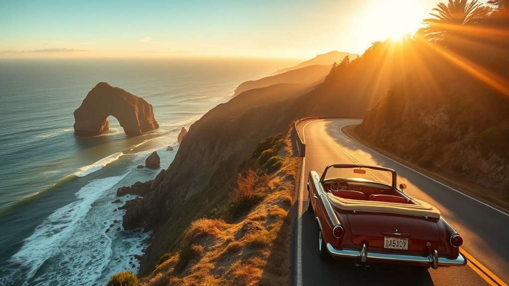
Big Sur is the most dramatic and logistically sensitive part of many Pacific Coast Highway trips. The road passes steep cliffs, historic bridges, redwood forests, beaches, and state parks, but parking is limited and conditions can change quickly.
- Bixby Creek Bridge: Stop only where parking is legal and your vehicle is fully outside the travel lane. Avoid walking into traffic for a photograph.
- Pfeiffer Big Sur State Park: Explore redwood-lined trails and check current park notices before hiking.
- Pfeiffer Beach: Visit for coastal scenery and Keyhole Rock if the access road, parking area, and weather are suitable for your vehicle.
- Julia Pfeiffer Burns State Park: McWay Falls is an 80-foot waterfall in McWay Cove, but access is restricted.
- Partington Cove: Consider this trail only when it is officially open and conditions are safe; the surf and rocks can be hazardous.
McWay Falls access warning: California State Parks currently lists the Waterfall Overlook Trail as closed for a retaining-wall project into 2026. The beach, waterfall area, and spaces beyond closed barriers are off-limits. Check the official Julia Pfeiffer Burns State Park trail page before visiting.
Long vehicles need extra planning. California State Parks states that vehicles over 22 feet long are not permitted in the Julia Pfeiffer Burns State Park parking lot. Other trailheads and pullouts may also be too small for an RV or trailer.
Big Sur is better experienced through a few carefully chosen stops than through an itinerary that requires constant rushing, unsafe parking, or driving after dark.
Historical Significance of Highway 1
California’s coastal highway represents a major engineering achievement. Work on the historic Carmel–San Simeon section began in 1919 and the through route opened in 1937. According to the Federal Highway Administration, the project included 33 bridges.
Bixby Creek Bridge was completed in 1932 and remains one of the route’s best-known structures. Its concrete arch spans 330 feet, while the roadway crosses roughly 260 feet above Bixby Creek and Canyon.
The route also passes landscapes shaped by Indigenous communities, Spanish and Mexican settlement, ranching, maritime trade, tourism, conservation, and state transportation projects. Historic missions, lighthouses, coastal towns, Hearst Castle, and surviving bridges reveal different parts of that history.
Highway 1 remains vulnerable to landslides, erosion, earthquakes, fires, and intense winter storms. The January 2026 reopening at Regent’s Slide restored continuous access between Carmel and Cambria, but long-term maintenance and emergency work remain part of traveling this coast.
Driving Safety, Fuel, Cell Service, and Tolls
Road and Pullout Safety
- Keep your attention on the road rather than watching the scenery while moving.
- Use designated pullouts and make sure the entire vehicle is outside the traffic lane.
- Do not make sudden stops when a viewpoint appears.
- Obey temporary signals, flaggers, lane controls, and reduced work-zone speeds.
- Use headlights in fog and leave extra following distance.
- Avoid driving while tired, especially after sunset on unfamiliar curved sections.
- Let faster traffic pass when a safe turnout is available.
Fuel and EV Charging
Fuel is available in coastal towns and at a limited number of Big Sur businesses, but prices and hours can differ greatly. Top off before entering remote stretches rather than depending on one station. Common preparation points include the Monterey or Carmel area when traveling south and Cambria or San Simeon when traveling north.
EV drivers should confirm that chargers are operating, compatible, and accessible during the planned travel window. Save backup chargers in both directions because steep grades, wind, cool temperatures, traffic, and detours can change energy use.
Cell Phone Reception
Cell service is unreliable in several remote areas, including parts of Big Sur and northern coastal counties. Download maps, lodging details, park information, and emergency contacts before leaving a connected town. Do not depend on streaming navigation for every turn.
RV and Trailer Travel
RVs can travel many sections of Highway 1, but suitability depends on vehicle length, driver experience, weather, construction, and the stops you intend to use. Narrow shoulders, tight access roads, small parking lots, and limited turnaround space can make large vehicles stressful.
Check every campground, park, and attraction individually. Never assume that a highway being open means its parking lots or side roads can accommodate a long motorhome or trailer.
Are There Tolls?
Most of California Highway 1 does not have a direct road toll. However, a full route can include the Golden Gate Bridge, where tolls are collected electronically in the southbound direction into San Francisco. Review current rates and payment options on the official Golden Gate Bridge toll page.
Optional private scenic roads, parking facilities, parks, and nearby bridges may also charge admission, parking, or crossing fees.
Best Times to Drive the Pacific Coast Highway
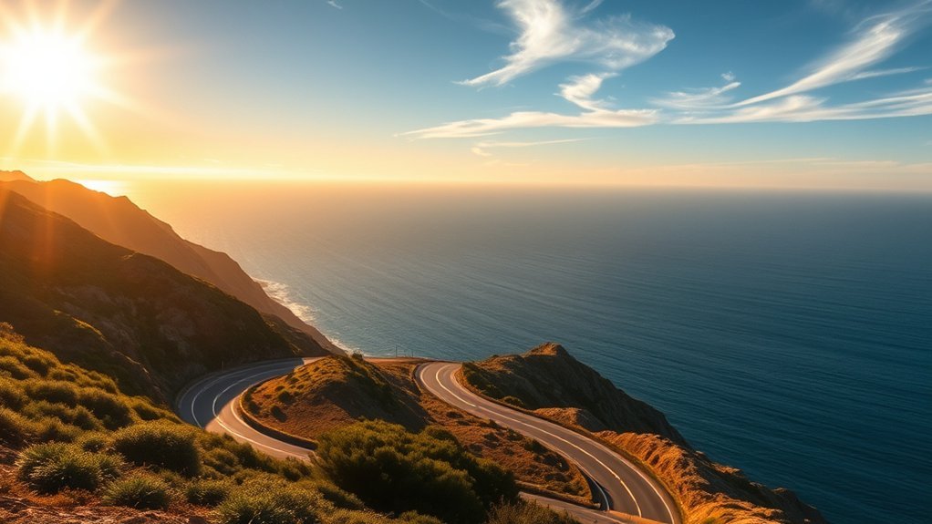
Late spring and early fall are often good choices because daylight is useful for sightseeing and crowds may be lighter than during the busiest summer weeks. May, June, September, and October can work well, but no month guarantees clear skies or an open road.
| Season | Advantages | Possible Drawbacks |
|---|---|---|
| Spring | Green hills, wildflowers in some areas, moderate temperatures, and longer days | Late storms, runoff damage, cool mornings, and lingering road repairs |
| Summer | Long daylight hours and a wide choice of open tourism services | Heavy traffic, expensive lodging, full parking lots, and coastal fog |
| Fall | Often lighter crowds and pleasant Central Coast travel conditions | Shortening daylight, wildfire smoke, heat events, or early-season storms |
| Winter | Lower lodging demand in some areas and dramatic coastal scenery | Rain, landslides, high surf, closures, short days, and reduced business hours |
July and August often bring more family travel and congestion. October can be an excellent choice, but travelers should still check for wildfire smoke, road work, and changing daylight. Southern California usually has milder winter conditions than the Central and Northern California coast.
Optional Oregon and Washington Coast Extension
Oregon and Washington are not part of California State Route 1. Travelers extending the journey north generally follow U.S. Route 101 and connecting coastal roads.
- Cannon Beach, Oregon: Walk the beach near Haystack Rock while respecting tide and wildlife closures.
- Astoria, Oregon: Explore Columbia River history, viewpoints, museums, and the town’s waterfront.
- Olympic National Park, Washington: Visit coastal beaches, temperate rainforest, lakes, and mountain areas. Check the National Park Service’s Olympic National Park page for road and trail conditions.
- Cape Flattery, Washington: Visit the northwestern tip of the contiguous United States while following local access rules and permit requirements.
This extension requires additional days. Distances are long, weather can change rapidly, and coastal U.S. 101 includes towns, forest roads, bridges, and inland sections rather than uninterrupted ocean views.
Frequently Asked Questions
What is the total distance of the Pacific Coast Highway?
California State Route 1 is approximately 656 miles long from Dana Point to Leggett. The informal term Pacific Coast Highway is sometimes used for shorter coastal sections, so trip distances depend on the chosen starting and ending points.
Are there tolls along the Pacific Coast Highway?
Most of Highway 1 has no direct road toll. However, the Golden Gate Bridge charges an electronic toll in the southbound direction into San Francisco. Optional private scenic drives, parking areas, and nearby bridges may charge separate fees.
Can I drive the Pacific Coast Highway in an RV?
Yes, many RVs travel Highway 1, but long vehicles require careful planning. Some pullouts, access roads, campgrounds, and parking lots have length restrictions. Julia Pfeiffer Burns State Park does not permit vehicles over 22 feet in its parking lot. Check every planned stop before departure.
What are the gas station options along the route?
Fuel is easy to find in major coastal cities but less predictable in remote areas. Top off before Big Sur and other long rural sections, confirm station hours, and avoid depending on a single location. EV drivers should save at least one backup charging option.
Is there cell phone reception throughout Highway 1?
No. Reception varies by carrier and can be weak or unavailable in Big Sur, canyons, and remote Northern California sections. Download maps, reservation details, and emergency information before leaving a town with reliable service.
How many days do I need for a Pacific Coast Highway road trip?
Three days can cover a focused Central Coast route, while five days is a better minimum for Los Angeles to San Francisco. Allow seven to ten days for a slower trip or for continuing into Northern California.
Is it better to drive Highway 1 northbound or southbound?
Both directions are scenic. Many travelers choose north to south because the ocean is on the right and several coastal pullouts are easier to enter. The best direction still depends on flights, rental-car costs, lodging, and the latest road conditions.
Can I currently visit the McWay Falls overlook?
California State Parks currently lists the Waterfall Overlook Trail as closed for a long-term retaining-wall project into 2026. The beach and closed areas are off-limits. Check the official park page immediately before visiting because the status may change.
Conclusion
A successful Pacific Coast Highway road trip is built around time rather than mileage. Choose a realistic section, reserve the hardest-to-replace lodging and tours, keep driving days short, and leave room for weather or road changes. Highway 1 is open through Big Sur as of July 19, 2026, but active work and temporary controls remain possible.
Use legal pullouts, respect closures, download offline information, and avoid packing every landmark into one day. With a flexible plan, the route offers far more than a view from the car: coastal walks, historic architecture, marine life, redwood forests, local food, and some of California’s most distinctive communities.
Sources
- Caltrans Highway 1 Current Conditions — closures, construction, traffic controls, and reported delays
- Caltrans Regent’s Slide Emergency Project — 2026 reopening and Big Sur access
- Caltrans State Route 1 Transportation Concept Report — approximate route length and corridor context
- California State Parks: Julia Pfeiffer Burns State Park Trails — McWay Falls Overlook Trail and current trail access
- Golden Gate Bridge Tolls and Payment — toll direction, current rates, and payment methods
- Federal Highway Administration: California’s Pacific Coast Highway — historic construction and bridge information






Leave a Reply